393 W Broadway
Boston, MA
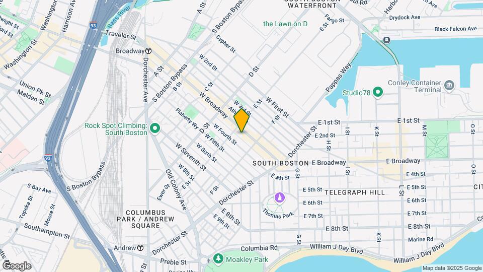
Neighborhood: South Boston![393 W Broadway Map and Location Details]()
Boston, MA
Neighborhood: South Boston
Uh-oh!
This property is not currently listed for rent.
Map
393 W Broadway, Boston, MA
- Shopping
- Colleges
- Grocery
- Medical
- Parks
- Transportation
Map
Nearby Schools
Excel High School
Boston Public Schools
95 G. Street
Public School - Grades 9-12 (434 Students)
In Attendance Zone1 minute drive / 0.4 miles away
Perkins Elementary School
Boston Public Schools
50 Burke Street
Public School - Grades PK-6 (158 Students)
In Attendance Zone1 minute drive / 0.4 miles away
Quincy Upper School
Boston Public Schools
152 Arlington Street
Public School - Grades 6-12 (530 Students)
In Attendance Zone3 minute drive / 1.3 miles away
James F. Condon School
Boston Public Schools
200 D Street
Public School - Grades PK-8 (635 Students)
In Attendance Zone1 minute drive / 0.2 miles away
School data provided by GreatSchools.
details
The GreatSchools Rating helps parents compare schools within a state based on a variety of school quality indicators and provides a helpful picture of how effectively each school serves all of its students. Ratings are on scale of 1 (below average) and to 10 (above average) and can include test scores, college readiness, academic progress, advanced courses, equity, discipline and attendance data. We also advise parents to visit schools, consider other information on school performance and programs, and consider needs as part of the school selection process.
About GreatSchools Data on ApartmentHomeLiving.com.
About GreatSchools Data on ApartmentHomeLiving.com.
Points of Interest
Time and distance from 393 W Broadway.
Arts Museums and Landmarks
Big Box and Retail
Target
7 Allstate Rd
3 minute drive / 1.0 miles away
Macy's
1 Summer St
3 minute drive / 1.14 miles away
Walgreens
841 Boylston St
5 minute drive / 1.78 miles away
Colleges and Universities
Groceries
Star Market
53 Huntington Ave
4 minute drive / 1.6 miles away
Whole Foods
15 Westland Ave
5 minute drive / 1.93 miles away
Shaw's
246 Border St
5 minute drive / 2.58 miles away
Hospitals
Tufts Medical Center
800 Washington Street
2 minute drive / 0.96 miles away
Dr. Solomon Carter Fuller Mental Health Center
85 East Newton Street
3 minute drive / 1.08 miles away
Boston Medical Center
1 Boston Medical Center Place
3 minute drive / 1.3 miles away
Military Bases
5 minute drive / 1.92 miles away
Parks and Recreation
393 W Broadway has 5 parks within 1.1 miles, including Christopher Columbus Waterfront Park, Castle Island, Boston Islands National Park, The Freedom Trail, and New England Holocaust Museum.
Restaurants and Dining
Shopping Centers
393 W Broadway has 5 shopping centers within 1.5 miles.
Transit Stations
2 minute drive / 0.85 miles away
Nearby Neighborhoods
Rental Price Ranges in the Area
| Bedroom | Average Rent | Cheapest Rent | Highest Rent |
|---|---|---|---|
| Boston Studio Apartments | $2,644 | $800 | $10,000+ |
| Boston 1 Bedroom Apartments | $3,026 | $1,000 | $10,000+ |
| Boston 2 Bedroom Apartments | $3,584 | $1,170 | $10,000+ |
| Boston 3 Bedroom Apartments | $4,131 | $800 | $10,000+ |
| Boston 4 Bedroom Apartments | $5,061 | $800 | $10,000+ |
| Boston 5 Bedroom Apartments | $6,304 | $825 | $10,000+ |
| Boston 6 Bedroom Apartments | $8,041 | $825 | $10,000+ |
| Boston 7 Bedroom Apartments | $5,288 | $975 | $10,000+ |
Nearby Apartments
Nearby Homes
Protect yourself from fraud. Avoid Scams and Fraud
Did You Know?
The months of July-August show the most apartment renter searches in Massachusetts.