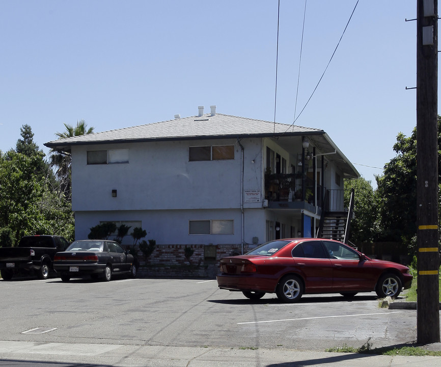
Photos


Request Notification
631-633 Cummins Way
West Sacramento, CA 95605

About 631-633 Cummins Way
Discover 631-633 Cummins Way. Based in West Sacramento's Broderick neighborhood, moving here offers a wide variety of nearby experiences. The team of leasing professionals is ready for you to come by for a visit. Life is great at 631-633 Cummins Way. Contact or drop by to schedule a tour today.
Description created using real-time rental pricing and availability.
631-633 Cummins Way is located in the Broderick Neighborhood and 95605 Zip code of West Sacramento, CA.
Property Contact Info
Property Information
- 8 Units
- 2 Stories
Parking Fees & Info
Parking Surface
- 1 Space.
Map
- Shopping
- Colleges
- Grocery
- Medical
- Parks
- Transportation
- Nearby Properties

Map
Getting Around
Walk Score®
47 / 100
Car-Dependent
Most errands require a car
Bike Score®
59 / 100
Bikeable
Some bike infrastructure
Transit Score®
24 / 100
Minimal Transit
It may be possible to get on a bus
What Are Walk Score®, Transit Score®, and Bike Score® Ratings?
- Walk Score® measures the walkability of any address.
- Transit Score® measures access to public transit.
- Bike Score® measures the bikeability of any address.
Renters Reviews and Ratings
Nearby Schools
Elkhorn Village Elementary
River City High
About GreatSchools Data on ApartmentHomeLiving.com.
Points of Interest
Time and distance from 631-633 Cummins Way.
Big Box and Retail
Colleges and Universities
Groceries
Hospitals
Military Bases
Parks and Recreation
631-633 Cummins Way has 5 parks within 2.9 miles, including Capitol Park, Southside Park, Paradise Beach, South Natomas Community Park, and Sutter's Fort State Historical Park.
Shopping Centers
631-633 Cummins Way has 5 shopping centers within 0.9 miles.
Transit Stations
Nearby Neighborhoods
Rental Price Ranges in the Area
| Bedroom | Average Rent | Cheapest Rent | Highest Rent |
|---|---|---|---|
| West Sacramento Studio Apartments | $1,816 | $957 | $8,045 |
| West Sacramento 1 Bedroom Apartments | $2,258 | $1,020 | $9,153 |
| West Sacramento 2 Bedroom Apartments | $2,657 | $1,495 | $10,000+ |
| West Sacramento 3 Bedroom Apartments | $2,942 | $2,000 | $6,104 |
| West Sacramento 4 Bedroom Apartments | $4,475 | $4,475 | $4,475 |
Nearby Apartments
Nearby Homes
Did You Know?
The months of July-August show the most apartment renter searches in West Sacramento.