Photos


Request Notification
Latitude 33
Encinitas, CA 92024

About Latitude 33
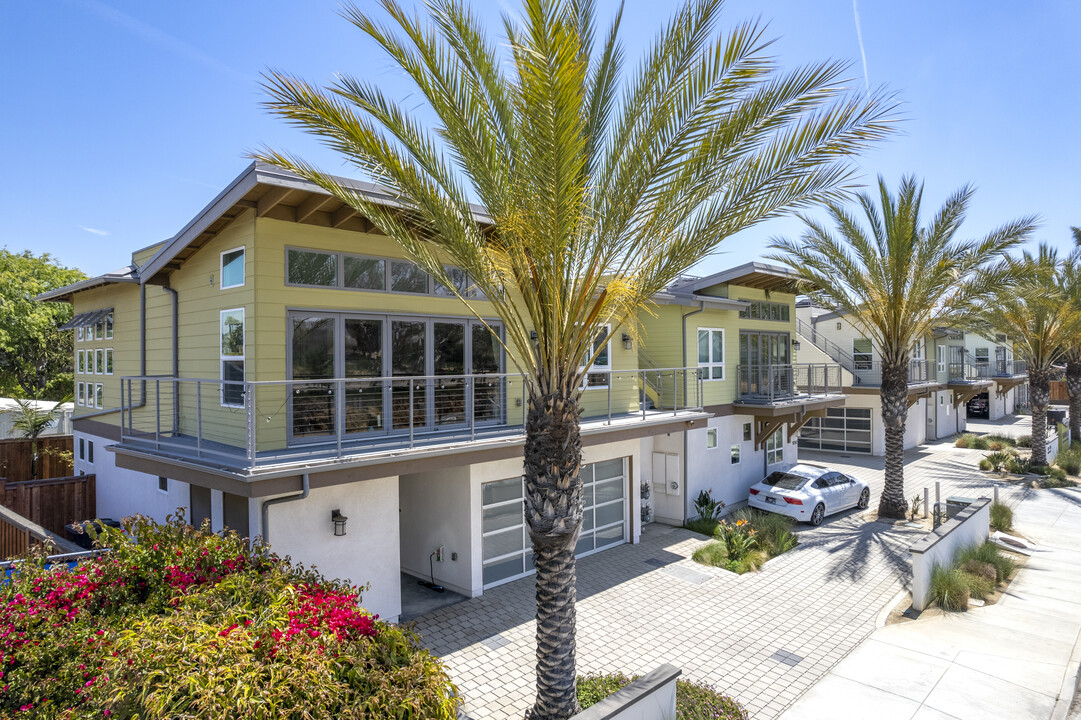
Experience Encinitas living at Latitude 33. This community can be found on N Vulcan Ave in Encinitas. From location to floorplan options, the team of leasing professionals will be ready to help you find the perfect new home. Drop by the leasing office to check current floorplan availability.
Description created using real-time rental pricing and availability.
Latitude 33 is located in the 92024 Zip code of Encinitas, CA.
Property Contact Info
Property Information
- 2 Stories
- Built in 2020
Map
- Shopping
- Colleges
- Grocery
- Medical
- Parks
- Transportation
- Nearby Properties

Map
Getting Around
Walk Score®
45 / 100
Car-Dependent
Most errands require a car
Bike Score®
39 / 100
Somewhat Bikeable
Minimal bike infrastructure
What Are Walk Score®, Transit Score®, and Bike Score® Ratings?
- Walk Score® measures the walkability of any address.
- Transit Score® measures access to public transit.
- Bike Score® measures the bikeability of any address.
Renters Reviews and Ratings
Nearby Schools
Capri Elementary
Diegueno Middle
La Costa Canyon High
About GreatSchools Data on ApartmentHomeLiving.com.
Points of Interest
Time and distance from Latitude 33.
Big Box and Retail
Colleges and Universities
Groceries
Hospitals
Parks and Recreation
Latitude 33 has 1 park within 3.0 miles, including Legoland California.
Shopping Centers
Latitude 33 has 5 shopping centers within 2.5 miles.
Transit Stations
Nearby Neighborhoods
Rental Price Ranges in the Area
| Bedroom | Average Rent | Cheapest Rent | Highest Rent |
|---|---|---|---|
| Encinitas Studio Apartments | $2,316 | $1,649 | $3,300 |
| Encinitas 1 Bedroom Apartments | $3,147 | $2,299 | $8,660 |
| Encinitas 2 Bedroom Apartments | $3,959 | $2,699 | $10,000+ |
| Encinitas 3 Bedroom Apartments | $6,256 | $3,545 | $10,000+ |
| Encinitas 4 Bedroom Apartments | $17,780 | $10,000 | $10,000+ |
Nearby Apartments
Nearby Homes
Did You Know?
The average Apartment shopper researches 4 properties in detail before signing a lease.