1067 252nd St
Los Angeles, CA 90710
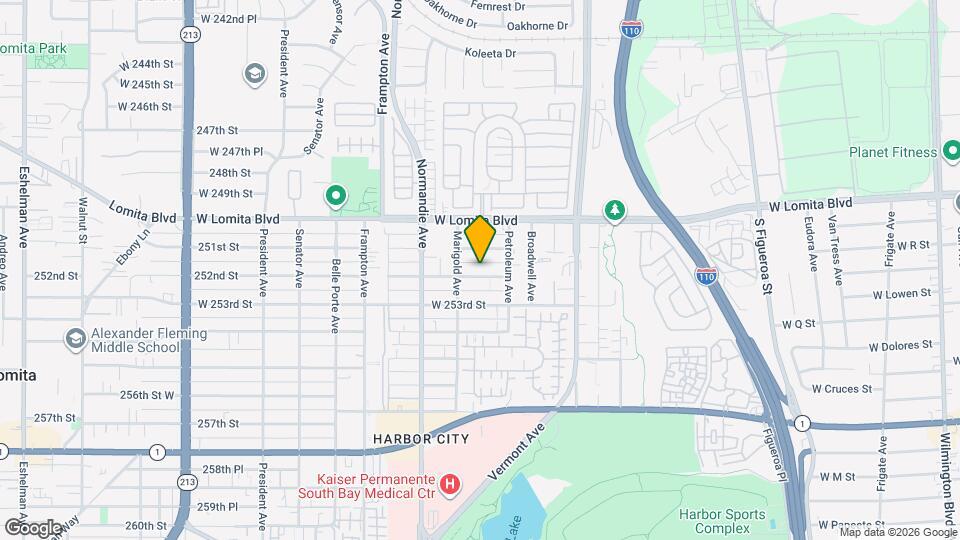
![1067 252nd St Map and Location Details]()
Los Angeles, CA 90710
Uh-oh!
This property is not currently listed for rent.
Map
1067 252nd St, Los Angeles, CA 90710
- Shopping
- Colleges
- Schools
- Grocery
- Medical
- Transportation
Map
Points of Interest
Time and distance from 1067 252nd St.
Big Box and Retail
Autozone
1973 Lomita Blvd
2 minute drive / 0.8 miles away
Target
651 W Sepulveda Blvd
3 minute drive / 1.05 miles away
Walgreens
22930 S Western Ave
3 minute drive / 1.3 miles away
Colleges and Universities
Groceries
Whole Foods
2645-2667 Pacific Coast Hwy
5 minute drive / 1.85 miles away
Ralphs
1770 W Carson St
4 minute drive / 2.18 miles away
Food 4 Less
336 W Anaheim St
5 minute drive / 2.47 miles away
Hospitals
Military Bases
5 minute drive / 1.83 miles away
12 minute drive / 5.77 miles away
19 minute drive / 9.1 miles away
Restaurants and Dining
Shopping Centers
1067 252nd St has 5 shopping centers within 0.8 miles.
Transit Stations
Nearby Neighborhoods
Rental Price Ranges in the Area
| Bedroom | Average Rent | Cheapest Rent | Highest Rent |
|---|---|---|---|
| Los Angeles Studio Apartments | $2,267 | $812 | $10,000+ |
| Los Angeles 1 Bedroom Apartments | $2,868 | $624 | $10,000+ |
| Los Angeles 2 Bedroom Apartments | $3,767 | $899 | $10,000+ |
| Los Angeles 3 Bedroom Apartments | $5,177 | $1,124 | $10,000+ |
| Los Angeles 4 Bedroom Apartments | $3,719 | $1,028 | $10,000+ |
| Los Angeles 5 Bedroom Apartments | $3,033 | $925 | $9,000 |
| Los Angeles 6 Bedroom Apartments | $7,302 | $1,350 | $10,000+ |
Nearby Apartments
Nearby Homes
Protect yourself from fraud. Avoid Scams and Fraud
Did You Know?
The average 5 Bedroom Apartment in Los Angeles is $3,033.