1320 Shadowglen Rd
Sacramento, CA

![]()
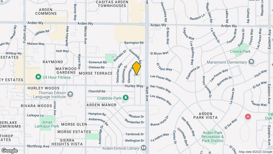
![1320 Shadowglen Rd Map and Location Details]()
Sacramento, CA
This property is not currently listed for rent.
Photos

Map
1320 Shadowglen Rd, Sacramento, CA
- Shopping
- Colleges
- Schools
- Grocery
- Medical
- Parks
- Transportation
Map
Points of Interest
Time and distance from 1320 Shadowglen Rd.
Big Box and Retail
Target
1919 Fulton Ave
4 minute drive / 1.45 miles away
Goodwill
5107 Fair Oaks Blvd
5 minute drive / 1.89 miles away
Staples
1900 Howe Ave
4 minute drive / 2.01 miles away
Colleges and Universities
Groceries
Pavilions
531-571 Pavilions Ln
5 minute drive / 1.9 miles away
Raley's
5159 Fair Oaks Blvd
5 minute drive / 1.95 miles away
Stop & Shop
2533 Edison Ave
6 minute drive / 2.85 miles away
Hospitals
Military Bases
7 minute drive / 3.37 miles away
10 minute drive / 5.12 miles away
11 minute drive / 5.29 miles away
Parks and Recreation
1320 Shadowglen Rd has 5 parks within 6.7 miles, including Sutter's Landing Regional Park, Sutter's Fort State Historical Park, Paradise Beach, Capitol Park, and South Natomas Community Park.
Shopping Centers
1320 Shadowglen Rd has 5 shopping centers within 0.7 miles.
Transit Stations
Nearby Neighborhoods
Rental Price Ranges in the Area
| Bedroom | Average Rent | Cheapest Rent | Highest Rent |
|---|---|---|---|
| Sacramento Studio Apartments | $1,744 | $946 | $10,000+ |
| Sacramento 1 Bedroom Apartments | $1,997 | $888 | $9,122 |
| Sacramento 2 Bedroom Apartments | $2,350 | $550 | $10,000+ |
| Sacramento 3 Bedroom Apartments | $2,756 | $699 | $9,257 |
| Sacramento 4 Bedroom Apartments | $1,381 | $675 | $4,475 |
Nearby Apartments
Nearby Homes
Protect yourself from fraud. Avoid Scams and Fraud
Did You Know?
The months of July-August show the most apartment renter searches in California.