1913 South Ave
Sacramento, CA 95838
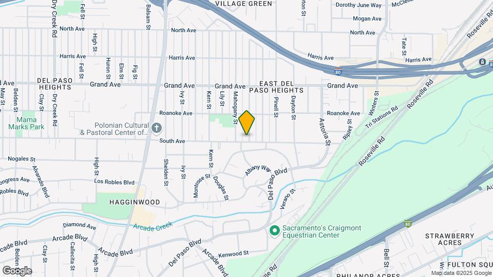
![1913 South Ave Map and Location Details]()
Sacramento, CA 95838
Uh-oh!
This property is not currently listed for rent.
Map
1913 South Ave, Sacramento, CA 95838
- Shopping
- Colleges
- Schools
- Grocery
- Medical
- Parks
- Transportation
Map
Points of Interest
Time and distance from 1913 South Ave.
Big Box and Retail
Jcpenney
1695 Arden Way
5 minute drive / 1.98 miles away
Walgreens
840 El Camino Ave
4 minute drive / 2.0 miles away
Staples
1900 Howe Ave
4 minute drive / 2.07 miles away
Colleges and Universities
Groceries
Stop & Shop
2533 Edison Ave
2 minute drive / 0.95 miles away
Grocery Outlet
2308 Del Paso Blvd
4 minute drive / 2.08 miles away
Raley's
2075 Fair Oaks Blvd
8 minute drive / 3.8 miles away
Hospitals
Military Bases
5 minute drive / 2.52 miles away
10 minute drive / 4.74 miles away
17 minute drive / 8.3 miles away
Parks and Recreation
1913 South Ave has 5 parks within 5.4 miles, including Sutter's Landing Regional Park, South Natomas Community Park, Sutter's Fort State Historical Park, Paradise Beach, and Capitol Park.
Shopping Centers
1913 South Ave has 5 shopping centers within 1.3 miles.
Transit Stations
3 minute drive / 1.12 miles away
Nearby Neighborhoods
Rental Price Ranges in the Area
| Bedroom | Average Rent | Cheapest Rent | Highest Rent |
|---|---|---|---|
| Sacramento Studio Apartments | $1,787 | $946 | $8,620 |
| Sacramento 1 Bedroom Apartments | $2,008 | $888 | $9,227 |
| Sacramento 2 Bedroom Apartments | $2,359 | $550 | $10,000+ |
| Sacramento 3 Bedroom Apartments | $2,836 | $699 | $9,257 |
| Sacramento 4 Bedroom Apartments | $1,429 | $675 | $4,475 |
Nearby Apartments
Nearby Homes
Protect yourself from fraud. Avoid Scams and Fraud
Did You Know?
28% of apartment shoppers plan to spend at least 1-2 months in their apartment search.