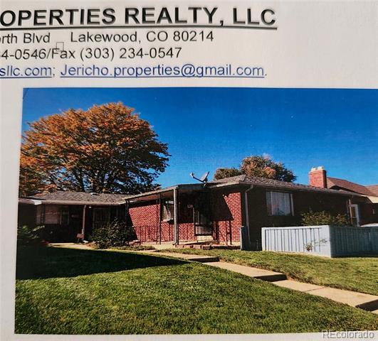
This property is not currently listed for rent.
Photos


Map
345 S Clay St, Denver, CO 80219
- Shopping
- Colleges
- Schools
- Grocery
- Medical
- Parks
- Transportation

Map
Points of Interest
Time and distance from 345 S Clay St.
Arts Museums and Landmarks
Big Box and Retail
Walgreens
300 S Federal Blvd
1 minute drive / 0.2 miles away
Autozone
1194 S Federal Blvd
3 minute drive / 1.1 miles away
Safeway
560 Corona St
5 minute drive / 2.8 miles away
Colleges and Universities
890 Auraria Parkway
5 minute drive / 2.4 miles away
Groceries
Natural Grocers
368 S Broadway
5 minute drive / 1.8 miles away
Trader Joe's
390 E 7th Ave
4 minute drive / 2.3 miles away
Whole Foods
1111 S Washington St
5 minute drive / 2.4 miles away
Hospitals
Denver Health & Hospital Authority
777 Bannock St
4 minute drive / 2.1 miles away
Saint Joseph Hospital
1375 E 19th Ave
7 minute drive / 3.6 miles away
Centura Health - Porter Adventist Hospital
2525 S Downing St
7 minute drive / 3.7 miles away
Parks and Recreation
5 minute drive / 2.4 miles away
345 S Clay St has 3 parks within 2.6 miles, including City Park, Civic Center Park, and Colorado History Museum.
Restaurants and Dining
Shopping Centers
345 S Clay St has 3 shopping centers within 0.5 miles.
Transit Stations
Nearby Neighborhoods
Rental Price Ranges in the Area
| Bedroom | Average Rent | Cheapest Rent | Highest Rent |
|---|---|---|---|
| Denver Studio Apartments | $1,656 | $525 | $8,247 |
| Denver 1 Bedroom Apartments | $1,924 | $332 | $10,000+ |
| Denver 2 Bedroom Apartments | $2,540 | $600 | $10,000+ |
| Denver 3 Bedroom Apartments | $3,417 | $600 | $10,000+ |
| Denver 4 Bedroom Apartments | $3,281 | $795 | $10,000+ |
| Denver 5 Bedroom Apartments | $3,683 | $2,150 | $6,000 |
Nearby Apartments
Nearby Homes
Protect yourself from fraud. Avoid Scams and Fraud
Did You Know?
Apartment residents stay an average of 2.5 years in their apartment before moving.