335 E 300 S
Salt Lake City, UT
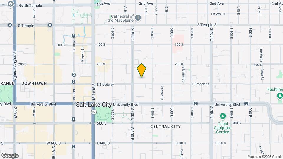
![335 E 300 S Map and Location Details]()
Salt Lake City, UT
Uh-oh!
This property is not currently listed for rent.
Map
335 E 300 S, Salt Lake City, UT
- Shopping
- Colleges
- Schools
- Grocery
- Medical
- Parks
- Transportation
Map
Points of Interest
Time and distance from 335 E 300 S.
Big Box and Retail
Walgreens
531 E 400 S
1 minute drive / 0.24 miles away
Target
1110 S 300 W
4 minute drive / 1.58 miles away
Lowe's
1335 S 300 W
4 minute drive / 1.65 miles away
Colleges and Universities
Groceries
Natural Grocers
55 W 500 S
18 minute drive / 8.56 miles away
Whole Foods
6930 S Highland Dr
20 minute drive / 9.61 miles away
Hospitals
1275 East Fairfax Road
5 minute drive / 1.9 miles away
Military Bases
5 minute drive / 2.37 miles away
9 minute drive / 4.37 miles away
Parks and Recreation
335 E 300 S has 5 parks within 8.6 miles, including Pioneer Park, Liberty Park, Red Butte Garden and Arboretum, Sugar House Park, and Wheeler Historic Park.
Shopping Centers
335 E 300 S has 5 shopping centers within 0.5 miles.
Transit Stations
Nearby Neighborhoods
Rental Price Ranges in the Area
| Bedroom | Average Rent | Cheapest Rent | Highest Rent |
|---|---|---|---|
| Salt Lake City Studio Apartments | $1,443 | $739 | $10,000+ |
| Salt Lake City 1 Bedroom Apartments | $1,728 | $437 | $7,704 |
| Salt Lake City 2 Bedroom Apartments | $2,194 | $697 | $10,000+ |
| Salt Lake City 3 Bedroom Apartments | $2,510 | $1,285 | $10,000+ |
| Salt Lake City 4 Bedroom Apartments | $2,672 | $2,046 | $6,915 |
Nearby Apartments
Nearby Homes
Protect yourself from fraud. Avoid Scams and Fraud
Did You Know?
The average Apartment shopper researches 4 properties in detail before signing a lease.