1280 S Utica St
Denver, CO 80219
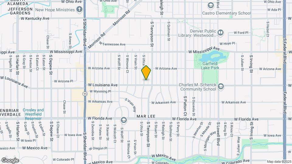
![1280 S Utica St Map and Location Details]()
Denver, CO 80219
Uh-oh!
This property is not currently listed for rent.
Map
1280 S Utica St, Denver, CO 80219
- Shopping
- Colleges
- Schools
- Grocery
- Medical
- Parks
- Transportation
Map
Points of Interest
Time and distance from 1280 S Utica St.
Arts Museums and Landmarks
Big Box and Retail
Autozone
1194 S Federal Blvd
2 minute drive / 0.89 miles away
Safeway
1955 S Sheridan Blvd
3 minute drive / 1.02 miles away
Walgreens
300 S Federal Blvd
4 minute drive / 1.65 miles away
Colleges and Universities
890 Auraria Parkway
8 minute drive / 4.13 miles away
Groceries
Safeway
1955 S Sheridan Blvd
3 minute drive / 1.02 miles away
Natural Grocers
368 S Broadway
6 minute drive / 3.12 miles away
Whole Foods
1111 S Washington St
6 minute drive / 3.23 miles away
Hospitals
Parks and Recreation
8 minute drive / 3.76 miles away
1280 S Utica St has 5 parks within 4.5 miles, including City Park, Civic Center Park, Colorado History Museum, Elitch Gardens, and Molly Brown House Museum.
Restaurants and Dining
Shopping Centers
1280 S Utica St has 5 shopping centers within 0.8 miles.
Transit Stations
Nearby Neighborhoods
Rental Price Ranges in the Area
| Bedroom | Average Rent | Cheapest Rent | Highest Rent |
|---|---|---|---|
| Denver Studio Apartments | $1,658 | $525 | $6,624 |
| Denver 1 Bedroom Apartments | $1,951 | $600 | $9,582 |
| Denver 2 Bedroom Apartments | $2,549 | $600 | $10,000+ |
| Denver 3 Bedroom Apartments | $3,388 | $600 | $10,000+ |
| Denver 4 Bedroom Apartments | $3,015 | $950 | $5,115 |
| Denver 5 Bedroom Apartments | $3,336 | $2,850 | $3,799 |
Nearby Apartments
Nearby Homes
Protect yourself from fraud. Avoid Scams and Fraud
Did You Know?
43% of renters tour a property with an agent before signing a lease.