This property is not currently listed for rent.
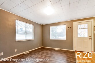
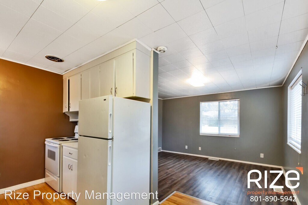
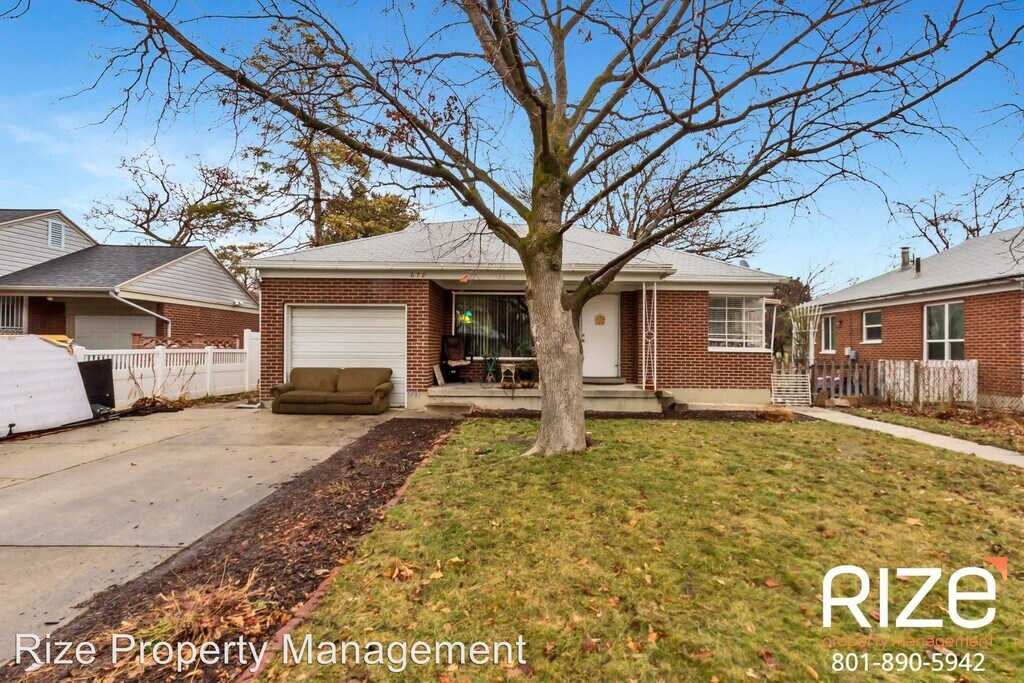
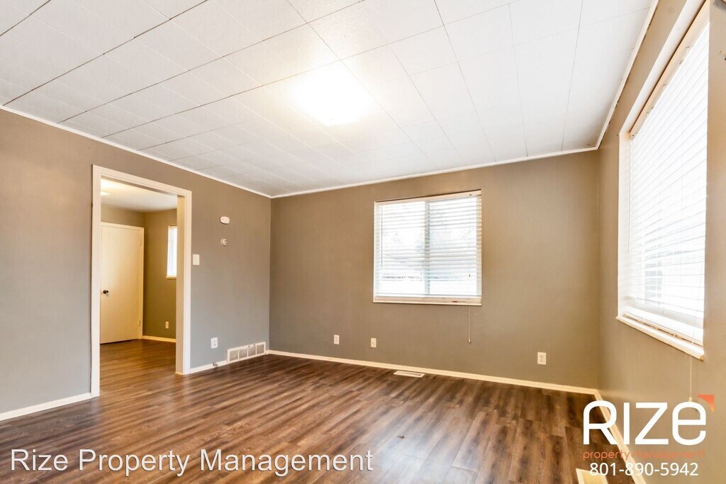
Photos


Map
672 N 1300 W, Salt Lake City, UT 84116
- Shopping
- Colleges
- Schools
- Grocery
- Medical
- Parks
- Transportation
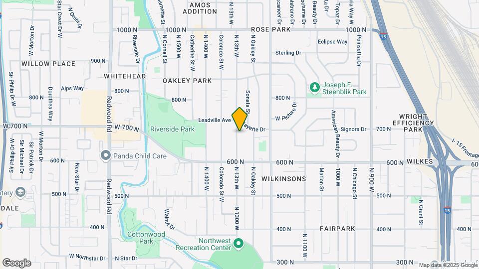
Map
Points of Interest
Time and distance from 672 N 1300 W.
Big Box and Retail
Walgreens
144 N 900 W
2 minute drive / 0.91 miles away
Target
1110 S 300 W
6 minute drive / 2.85 miles away
Lowe's
1335 S 300 W
6 minute drive / 3.23 miles away
Colleges and Universities
Groceries
Natural Grocers
55 W 500 S
16 minute drive / 7.6 miles away
Hospitals
Lds Hospital
8th Avenue And C Street
5 minute drive / 2.59 miles away
Salt Lake Regional Medical Center
1050 East South Temple
7 minute drive / 3.68 miles away
Shriners Hospitals For Children - Salt Lake City
1275 East Fairfax Road
8 minute drive / 4.13 miles away
Military Bases
4 minute drive / 1.42 miles away
10 minute drive / 5.1 miles away
Parks and Recreation
672 N 1300 W has 5 parks within 10.5 miles, including Pioneer Park, Liberty Park, Red Butte Garden and Arboretum, Sugar House Park, and Wheeler Historic Park.
Shopping Centers
672 N 1300 W has 5 shopping centers within 1.3 miles.
Transit Stations
4 minute drive / 1.66 miles away
4 minute drive / 1.66 miles away
Nearby Neighborhoods
Rental Price Ranges in the Area
| Bedroom | Average Rent | Cheapest Rent | Highest Rent |
|---|---|---|---|
| Salt Lake City Studio Apartments | $1,447 | $739 | $8,808 |
| Salt Lake City 1 Bedroom Apartments | $1,737 | $437 | $6,876 |
| Salt Lake City 2 Bedroom Apartments | $2,238 | $995 | $10,000+ |
| Salt Lake City 3 Bedroom Apartments | $2,465 | $1,225 | $10,000+ |
| Salt Lake City 4 Bedroom Apartments | $2,823 | $1,999 | $3,290 |
Nearby Apartments
Nearby Homes
Protect yourself from fraud. Avoid Scams and Fraud
Did You Know?
43% of renters tour a property with an agent before signing a lease.